Ciclo-P
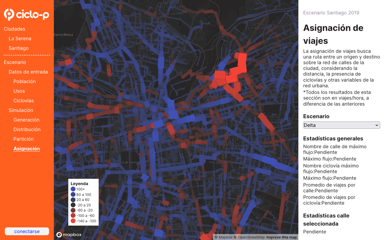
Ciclo-P is a travel prediction tool focused on urban cycling, based on travel demand models widely used for transport planning. It allows simulating the effects of a change in population, the built-up area for different uses, and bike lanes on the number of bicycle trips.
Features
Create urban scenarios
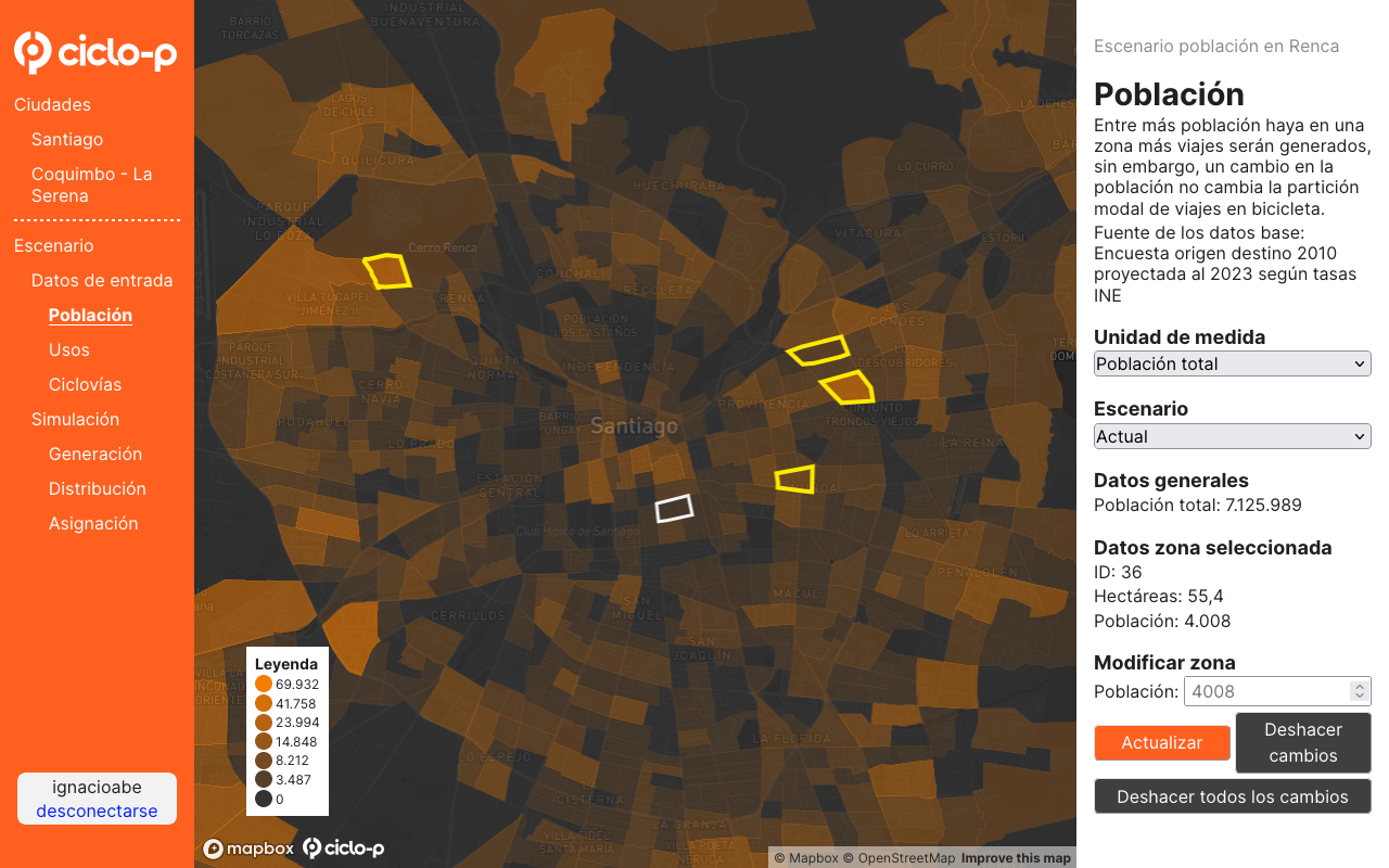
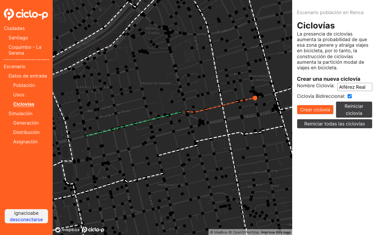
Create interactive and easy-to-use urban scenarios by modifying the population, land use, and bike lane network.
Simulate trips
Simulate bicycle trips using four-stage transport demand models (trip generation, destination choice, mode choice, and assignment to the network).
Visualize everything
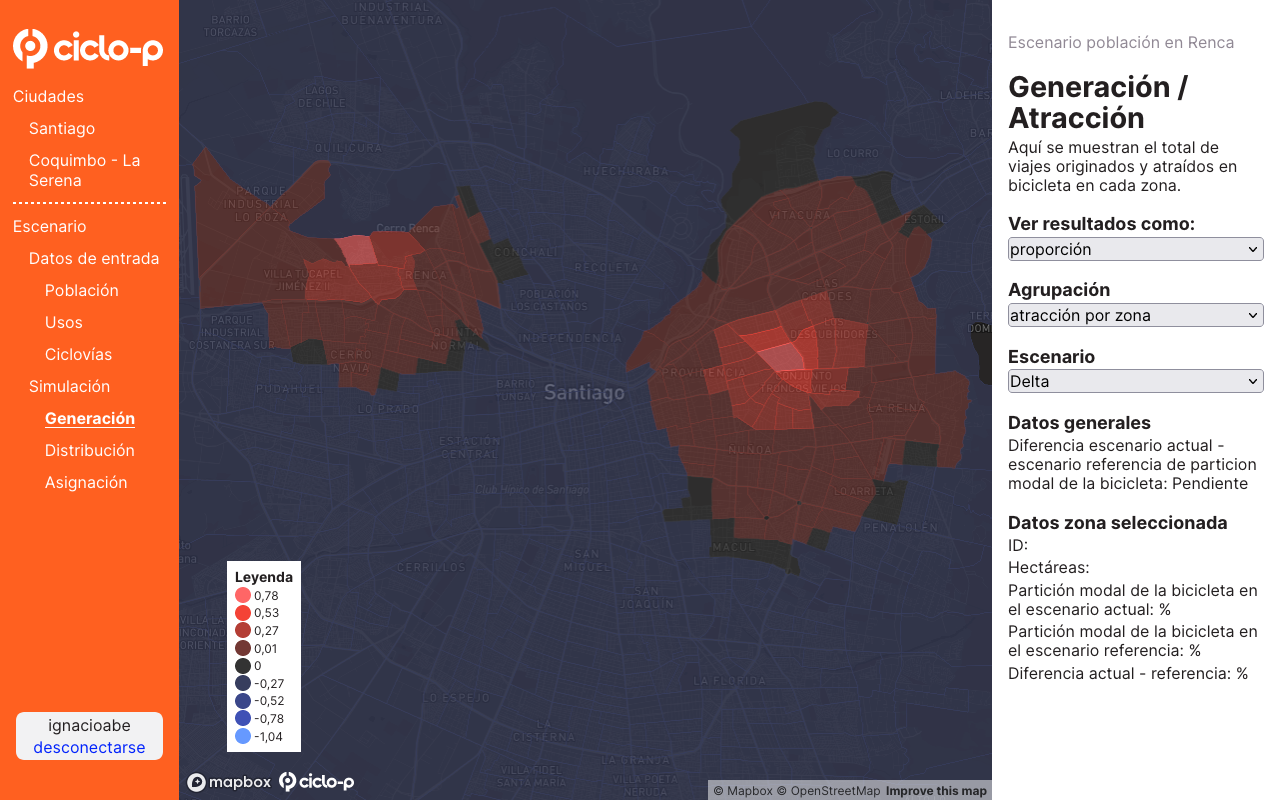
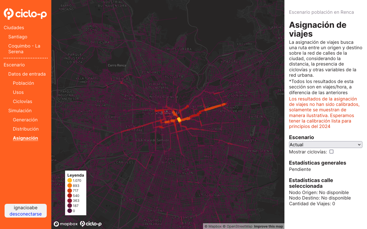
Visualize travel prediction results on different maps, at the zone or street level, for each of the four simulated demand models.
Compare scenarios
Compare the results of travel demand predictions between different scenarios.
How does it work?
Modify explanatory data
Interactively and easily modify the three fundamental aspects that determine bicycle trips:
Population
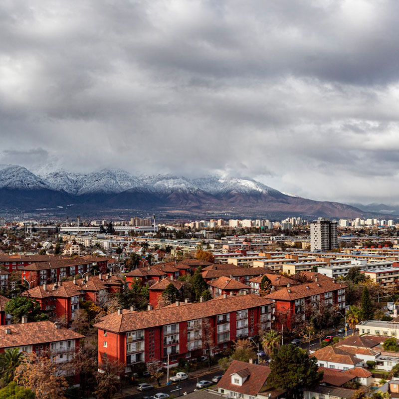
Increasing or decreasing the total number of inhabitants or the density in each modeling zone.
Location of activities
Modifying the total square meters or the density of each specific use in each modeling zone.
Bike lane network
Creating new bike lane axes on the existing transport network.
Simulate bicycle trip demand
Bicycle trip prediction is performed through a four-stage model: trip generation, destination choice, mode choice, and assignment to the network, specifically focused on urban cycling trips.

Trip generation
The first stage involves establishing trip generation, that is, how many trips will originate from each zone.
Destination choice
The second stage determines the destinations of the generated trips, calculating how many trips will go from one zone to all others. This stage also determines trip attraction (how many trips will arrive at each zone).
Mode choice
The third stage establishes how many trips will be made by bicycle (to and from each zone).
Network assignment
The fourth stage assigns the bicycle trips to the road network, seeking an efficient route for each origin-destination pair. These routes consider network attributes that affect bicycle use (such as street type, bike lanes, bus presence, and slope).
Team

Ricardo Hurtubia, PhD
Professor: School of Architecture / Transport and Logistics Engineering @ PUC.
Experience: Integrated transportation and land use models, discrete choice models related to public space and transportation systems.
Homero Larraín, PhD
Professor: Transport and Logistics Engineering @ PUC.
Experience: Optimization, transport network design, transport network equilibrium, and vehicle routing.

Sebastián Raveau, PhD
Professor: Transport and Logistics Engineering @ PUC.
Experience: Transport demand, transport user behavior.

Ignacio Abé
Architect @ PUC and master in Urban Studies @ Università Iuav di Venezia.
Experience: Sustainable mobility, open data, programming, and geospatial information analysis.
If you're interested in learning more, contact us!
Do you think your company, municipality, or organization could benefit from this tool? Don't hesitate to write to us!
